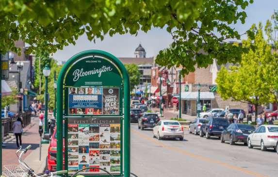
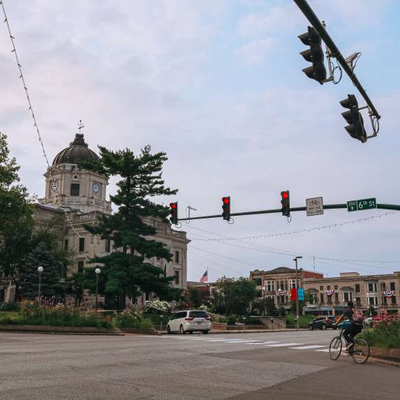
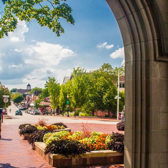
Wednesday, May 2, 2018
Follow the Fish: Explore Monroe County’s History with a Scavenger Hunt
Categories: Family Fun
In 1826, Austin Seward a local blacksmith, created the copper fish resting atop the Monroe County Courthouse. Speculations abound as to why a fish was placed atop the courthouse of a landlocked county decades before the construction of nearby Monroe Lake. Is it a good luck charm, perhaps a political statement, or did Mr. Seward simply like fish?
As a tribute to Monroe County on its 200th birthday, Visit Bloomington placed 25 fish markers at various locations around the county. We challenge you to find them and enjoy the sights along the way. And though we may never know why exactly the fish is at the top of the courthouse, we love that it's another representation of what makes Monroe County such a special place.
Follow the Fish
1. Monroe County Courthouse Lawn
The first Courthouse was built in 1818 by the county commissioners, as one of the earliest items of business for the new county. Very specific directions were written for the construction of a temporary log courthouse with the cost of the structure not to exceed $400. The original structure was a single-story two-room cabin in the manner of a double log cabin. The structure on the courthouse lawn is actually the third courthouse and designed in the style of Beaux-Arts Classicism. Location on Google Maps.
2. Monroe County History Center
Center School occupied the site at 6th and Washington from 1854-1913. In 1918, a new Bloomington Public Library opened here and remained for the next 52 years before moving to Kirkwood Avenue. The Monroe County Historical Society bought and began working to expand the building in 1994. Today, the Monroe County History Center is home to exhibits, galleries, a genealogy and local history research library, a museum store, and an education room. Location on Google Maps.
3. Monroe County Public Library
The Bloomington Public Library merged with the Monroe County Public Library system in 1965 and the Monroe County Public Library Foundation was formed. In 1968, construction on the new main library in Bloomington began and a storefront branch opened in Ellettsville. In 1970, the new library opened at the corner of Kirkwood and Lincoln featuring a Randtriever, a series of shelves accessed by robotic arms. Location on Google Maps.
In 1953, The Pizzaria (the first in Bloomington) was established in the front window of Hoover's Cafe, a lunch and breakfast restaurant that served plates for 25 cents. The oven and make-table were set in the front window for patrons to see the new spectacle that was a pizza pie. Countless first tastes of pizza and first dates have occurred here. Location on Google Maps.
5. Indiana University - Location TBD
Indiana's state government in Corydon established Indiana University in 1820 as the State Seminary. Construction began in 1822 at what is now called Seminary Square Park near the intersection of Second Street and College Avenue. The school's name was changed to Indiana College in 1829 and to Indiana University in 1839. In 1883, the original campus in Seminary Square burned to the ground. The college was rebuilt between 1884 and 1908 at what was considered at the time the far eastern edge of Bloomington.
6. Buffalouie’s | The Gables
Also known as the Book Nook, where Hoagy Carmichael penned part of his immortal song Star Dust, this Spanish Colonial-style building is fondly remembered by generations of Indiana University alumni and now serves some of the best wings in America. Location on Google Maps.
There are no written records of burials at Rose Hill Cemetery until 1897. The oldest section of the cemetery is located in the southeast corner bordered by Maple and Third Streets and was probably begun about 1818-1820 by the county. The name Rose Hill was agreed upon as being in keeping with the wild and cultivated roses that were lavishly spread over the grounds. Location on Google Maps.
The Convention Center building was originally built in 1923 as Graham Motor Sales, which later became known as the Henry Ford Model T assembly plant and showroom. It became a place people gathered to see the latest automobiles as they rolled off the assembly line. This area of downtown became known as the Ford Corner and was the place to be on Saturday mornings. Location on Google Maps.
John Henry Hinkle first settled the farmstead property in 1886 with his wife, Laura Ann Rawlins Hinkle. They lived in a log structure until their Queen Anne style home was constructed in 1892. John Henry Hinkle was a farmer by trade and over time, his farm grew to more than 80 acres. Daisy Garton was Hinkle’s granddaughter. The Hinkle-Garton Farmstead was given to Bloomington Restorations, Inc. by the estate of Daisy Garton. Location on Google Maps.
This park was established in 1816 by an Act of Congress as the original site of Indiana Seminary, a preparatory school that by 1838 became Indiana University. The first building was erected on the site in 1824, and it remained the school campus until Indiana University moved to its new campus in 1883. The Old College building, built in 1854, remained in use as a school until destroyed by fire in 1967. The site was subsequently established as a public park in 1975. Location on Google Maps.
The B-Line Trail extends 3.1 miles through the heart of Bloomington. Several public art installations including the Bloomington Banquet, a sculpture of a table and chairs by Dale Enochs made from Indiana limestone can be found along the trail. Location on Google Maps.
Built in 1987, the Visitor Center has welcomed visitors from around the world for over 30 years! Stop by on your way into town for information on things to do in town, restaurants, tours, and more. Take a piece of Bloomington home with you and shop our Btown Store. Location on Google Maps.
In 1953, Lake Lemon was built to serve as a drinking water reservoir and natural resource venue for the City of Bloomington’s expanding population. Lake Lemon was used as the primary drinking water source for the City of Bloomington until the late 1960s. Currently, the reservoir serves as Bloomington’s back up water supply. Location on Google Maps.
14. Red Men Hall
Smithville was laid out in 1851 when the New Albany Railroad was extended to that point. The community was named for George Smith, one of the founders. The post office has been in operation at Smithville since 1854. Location on Google Maps.
15. Fourwinds Lakeside Inn & Marina
Located in the Fairfax State Recreation Area, Fourwinds sits on the shores of Monroe Lake, Indiana’s largest manmade lake. Location on Google Maps.
In 1909, tensions among students at Indiana University reached a breaking point, leading to physical altercations on campus. Dismayed by the uncivil campus climate, an IU student named John Whittenberger decided to form a student organization that would encourage unity and collegiality among students. With the help of IU’s president, William Lowe Bryan, and members of the faculty, Whittenberger founded the Indiana Union. In 1960, the Biddle Hotel & Conference Center was added to foster personal and professional growth through conferences, workshops, and seminars. Location on Google Maps.
17. Ivy Tech Community College
Ivy Tech Community College’s Bloomington campus opened in 2002 and serves approximately 10,000 students annually. Counties of service include Brown, Greene, Lawrence, Martin, Monroe, Morgan, Orange, and Owen but the campus draws students from nearly all of Indiana. Location on Google Maps.
18. Karst Farm Park
Karst Farm Park, named for its rolling terrain and former status as the county poor farm, is a popular place for picnics and sports. Location on Google Maps.
Served by two privately-owned FBOs, Cook Aviation, and BMG Aviation, the airport offers the facilities and services to meet the needs of any large organization’s flight department. Location on Google Maps.
20. Heritage Trail
This half-mile trail is located in the heart of downtown Ellettsville. The Heritage Trail features many artifacts and historical information markers about the area, including limestone carvings, tools, and sculptures. The trail will eventually connect to the Karst Farm Greenway, providing a biking and walking trail that spans much of western Monroe County. Location on Google Maps
21. Ellettsville Fire Station
In 1818 Edward Ellett and his family settled in what would become Ellettsville in 1837. The community was incorporated as a town in 1866. Ellettsville is home to the Indiana Limestone Symposium every June on the grounds of Bybee Stone Company and the Hilly Hundred Bicycle Tour in October. Location on Google Maps
In 1894, the Stinesville Mercantile was built. Through the years it has served as a post office, mercantile, Odd Fellows lodge, community event location, and a common gathering place. Location on Google Maps.
23. Paynetown State Recreation Area
Managed by the Indiana Department of Natural Resources, this area on Monroe Lake offers a beach, camping, boat rental, and educational programming. Location on Google Maps.
Monroe Lake was authorized under the Flood Control Act of 1938. The Louisville District of the U.S. Army Corps. of Engineers designed, built, and operates the project to reduce flood damages downstream from the dam. When heavy rains occur, surface water runoff is stored in the lake until swollen streams and rivers below the dam have receded and can handle the release of the stored water without damage to lives and property. Location on Google Maps.
25. Butler Winery
Established in 1983 and operated by the Butler family, Butler Winery specializes in wines made from Indiana-grown grapes and a variety of other fruits. The winery is located at the vineyard, where you can sample and purchase wines in a picturesque country vineyard setting, have a picnic or take a walk around the scenic pond. Location on Google Maps.
Plan Your Trip

Mike McAfee
The Executive Director of Visit Bloomington, Mike blogs primarily about outdoor recreation and live music.
Comments